When last summer Google Maps renewed its maps to show the geography of our planet earth with more precision and detail, it also announced that it would add more details on city maps, and after five months of waiting they have finally arrived.
Google Maps has launched the new maps with street level details in four cities, which make them the maps with greater precision that allow us to better plan our routes thanks to its new features.
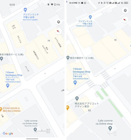
New details at street level
With the new street level maps that Google Maps wants to update the maps of the main cities of the world we can see the graphical representation of these details:
- Precisely scaled road widths.
- Paths and stairs in parks.
- Sidewalks
- Crosswalks.
- Mediums and pedestrian islands.
Have Google Maps render crosswalks, medians, sidewalks, and width to scale it is useful in our journeys on foot, especially if we have accessibility needs, like a wheelchair or stroller. We can see on the map whether or not we are going to have problems during that route suggested by the application.
The four available cities
The first cities to have the new details available at street level are San Francisco, NY, London and Such. Google’s commitment is to add more cities in the future.
Next we leave you with a comparison for each of the cities in which we can see how the map looked before and how they look now with pedestrian crossings, sidewalks and roads and highways with the width to scale.
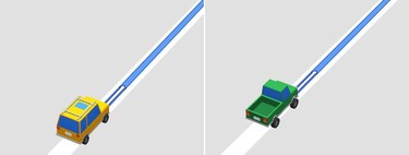
San Francisco
 Before: right, Now: left
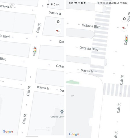
 NY
 Before: right, Now: left
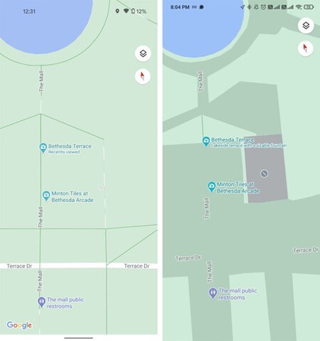
 London
 Before: right, Now: left
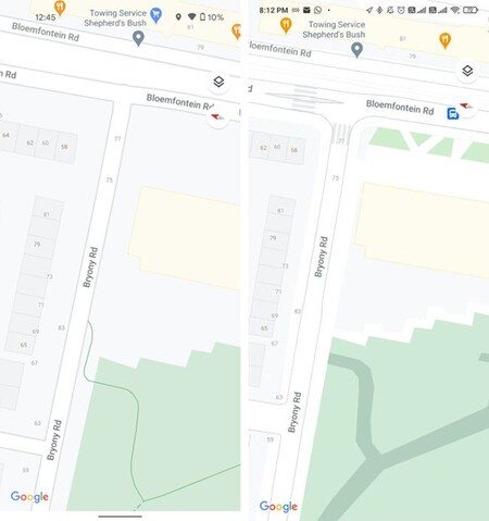
 Such
 Before: right, Now: left
Maps – Navigation and public transport
Via | Android Police
More information | Google